
Today, we’re featuring an excerpt from The Pilot’s Manual: Instrument Flying (PM-3).
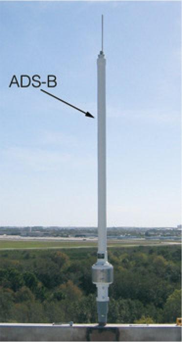
Automatic Dependent Surveillance-Broadcast (ADS-B) is a surveillance technology being deployed throughout the entire National Airspace System. ADS-B enables improved surveillance services, both air-to-air and air-to-ground, especially in areas where radar is ineffective due to terrain or where radar is impractical or cost prohibitive. Eventually, ADS-B will replace most ground-based surveillance radars.
The basic principle of ADS-B is that each aircraft broadcasts a radio transmission approximately once per second, which contains the aircraft’s position, velocity, identification, and other information. This capability is referred to as “ADS-B out.” This transmission is received by the ground-based transceivers (GBTs) and by other appropriately-equipped aircraft. (The capability to receive ADS-B information is referred to as “ADS-B in.”) The ADS-B ground station processes the information and uses it to provide surveillance services. The composite traffic information is uplinked as the product, “Traffic Information Service-Broadcast (TIS-B).” In order to detect each other, no ground infrastructure is necessary for ADS-B equipped aircraft (i.e., those with both ADS-B out and in).
There are two completely different methods for aircraft to transmit and receive the ADS-B information. Aircraft that primarily operate in high-altitude airspace send and receive the information using an enhanced Mode S transponder. Aircraft that primarily operate in the low-altitude airspace send and receive the information using the Universal Access Transceiver (UAT). The GBT receives information from both sources and rebroadcasts (ADS-R) it so that all aircraft have all the information.
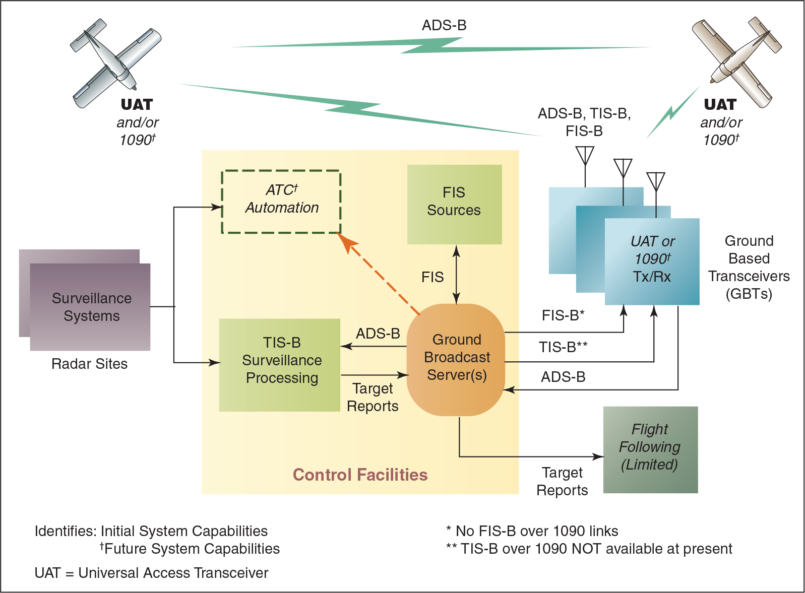
Another feature related to ADS-B is called Flight Information Services-Broadcast (FIS-B). FIS-B provides current weather products via an uplink from the GBT antennas to the UAT on the airplane. There is no fee for this weather service. More information on FIS-B is given in the “Datalink Weather Systems” section ahead on page 208.
Before FIS-B and datalink weather capability, pilots had to contact Flight Watch or a flight service station to have someone describe the weather radar picture for them. Now that picture is available in the cockpit. For example, NOTAMs and Temporary Flight Restrictions (TFRs) can be graphically presented over the top of electronic charts, so pilots know what areas to avoid.
The ADS-B system also has downlink capabilities that may someday transmit actual weather data to the ground. In the future, airplanes could send down actual (not forecast) wind direction, velocity, freezing levels, turbulence, and more, to be analyzed in real time. The information could be constantly sent to the ground to build an enhanced, comprehensive, and current weather picture. This information is called an electronic PIREP.
Mandatory ADS-B Out Requirement
The term “ADS-B out” refers to the broadcast of ADS-B transmissions from aircraft, without the installation of complementary receiving equipment to process and display ADS-B data on cockpit displays to pilots. This complementary processing is called “ADS-B in.” ADS-B out is needed for cockpit displays to be able to directly observe traffic. ADS-B out can be deployed earlier than ADS-B in, since ATC surveillance (air-ground) can operate without ADS-B in.
Effective January 1, 2020, ADS-B out capability will be required for aircraft in the following airspace areas:
- Class A, B, and C airspace;
- all airspace above 10,000 ft MSL over the 48 contiguous states and the District of Columbia (excluding the airspace above 10,000 feet, but within 2,500 feet of the ground);
- within the 30 NM veil of airports listed in 14 CFR §91.225; and
- Class E airspace over the Gulf of Mexico from the coastline of the United States out to 12 nautical miles, at and above 3,000 feet MSL.


