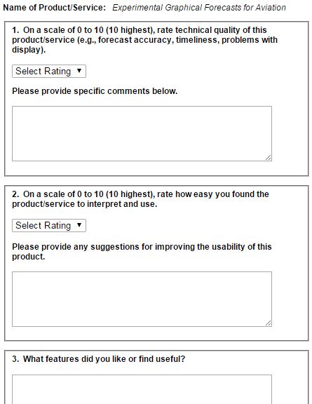
What’s new in the world of aviation weather products you ask? Well, the “Experimental Graphical Forecast for Aviation” (GFA) of course! As the title suggests, this product is in experimental form at the moment, but is up and running at AviationWeather.gov. The National Weather Service and FAA are asking for your help in surveying this new product. This is your chance to be an active participant in shaping the future of weather products you will end up using yourself.
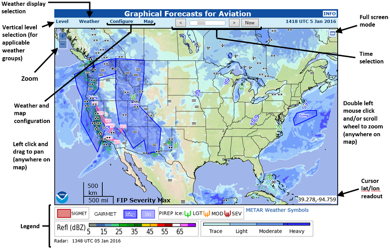
But first, what exactly is a GFA? In short the GFA’s main purpose is to provide a complete picture of necessary weather information impacting flight over the Continental United States. It includes a wealth of data in graphical output including observational data, forecasts, thunderstorm activity, clouds, precipitation, icing, and turbulence to name just a few. The image below is an example of the GFA output.
As a user you will have the unique ability to configure and choose exactly what you want displayed on the GFA. For example you can display icing conditions across the U.S. at specific flight levels of your choosing with the ability to overlay airports and roads and even depict terrain. There are so many things you can do and it would take too long to describe it all to you here. So I urge you to check it out for yourself! Play around with the GFA for awhile, read the product description (included as attachment below), and finally let the NWS and FAA know what you think by completing the online survey. Your information and suggestions are vital.


